|
|
|||||||||||||||||||||||||||
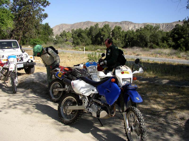
I was justifiably excited when I learned that Ranger Greg Hoffman was going to lead a ride/patrol on the San Jacinto portion of the San Bernardino National Forest. I have known Greg for four years now and our rides together have always been enjoyable and informative. This ride was going to prove to be no exception. We were joined by one other OHV Volunteer, Albert Latta, and Greg was gracious enough to haul a couple of the Volunteer Program XR-250s over for them to ride. This was also the first chance for me to get my DRZ400S out the garage after I had shoe horned in a brand new battery. (You can believe me when I tell you that it is no fun at all to ride an electric start bike with no kick start back-up and a dying battery.) At any rate, we staged at Cranston Ranger Station off SR-94, just beyond Hemet as the road starts into the national forest. After briefly outlining our route and what we would be looking this day, we started back down the highway towards Bautista Canyon road and the start of our first trail, Hixon Trail. Bautista Canyon is named for the famous Spanish Explorer who was the first adventure to make his way into what is now Southern California from Mexico. His route is marked with signs on today's highways, which pass through Riverside, Los Angeles, Ventura and Santa Barbara, all spots he passed through on his route to Northern California.
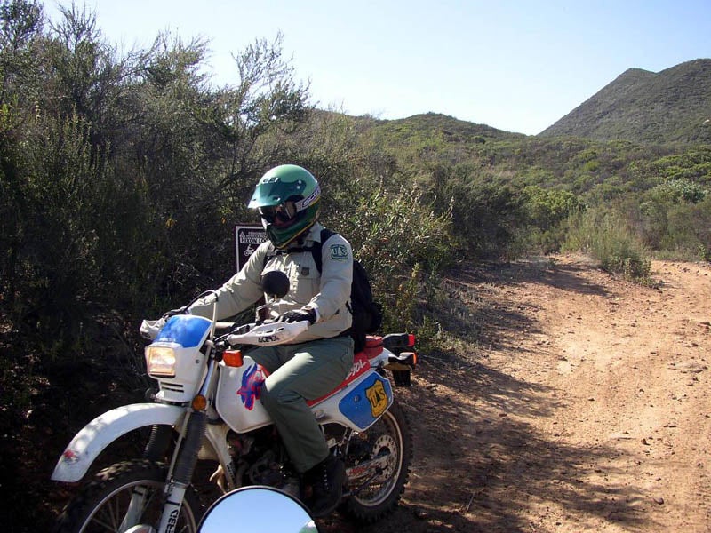
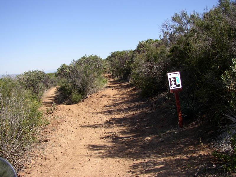
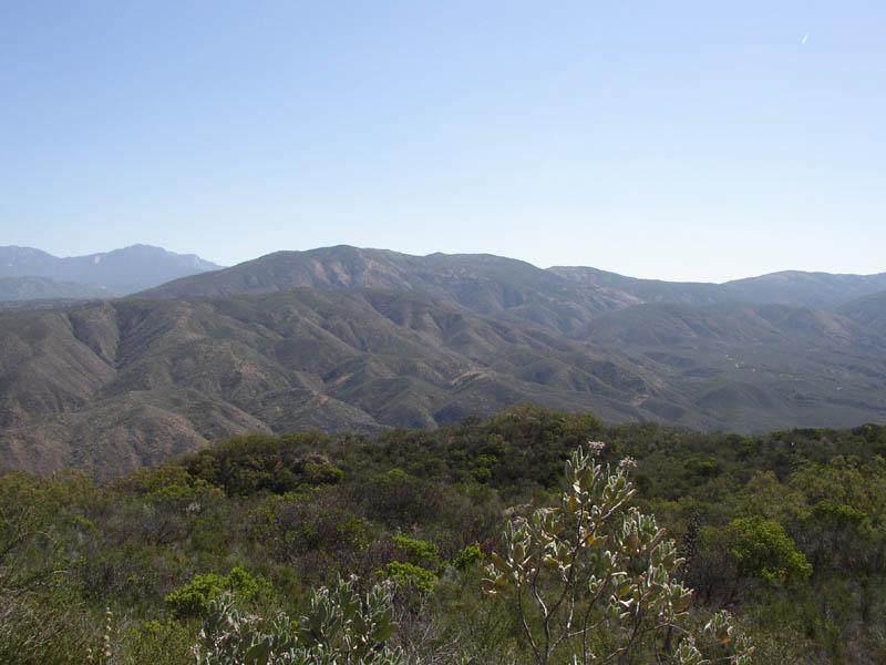
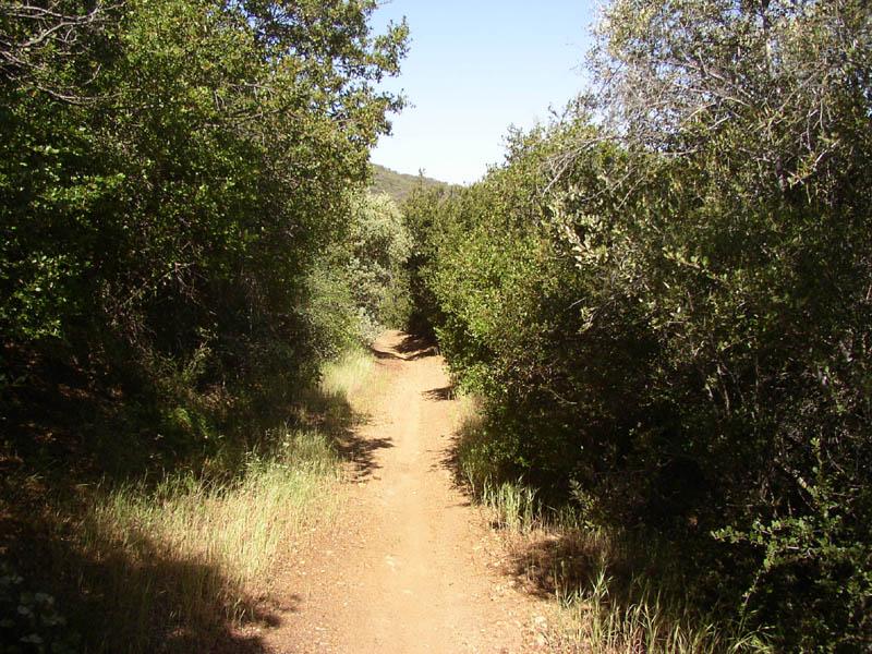
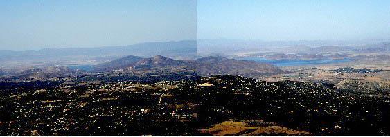
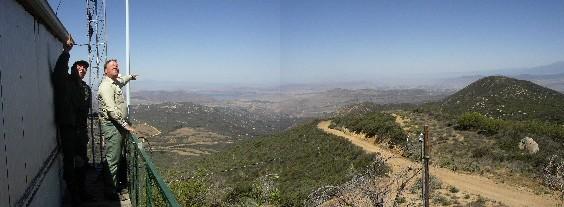
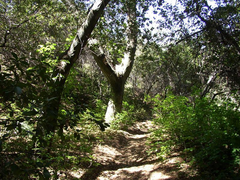
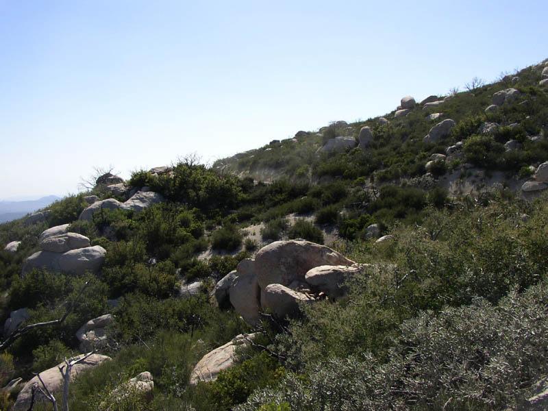
This area is very scenic, and Hixon trail offer some moderately challenging single-track trail to test most skills. This intermediate trail is well groomed but offers some tight turns and fun 50-inch wide tracks. On this particular day, we were the only ones on the trail, which allowed us to relax a little and pick up the pace of our ascent. Our eventual goal was the forest look out tower on Red Mountain Peak, which affords a panoramic view of the entire Hemet area and Mount San Jacinto.
It was early enough in the season that the plants were still green and we were lucky enough to have a breeze that was keeping temperatures at the tolerable level. I had a feeling that was one of those spring rides where everything was going to go our way.
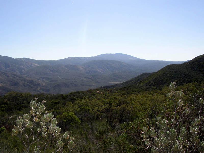
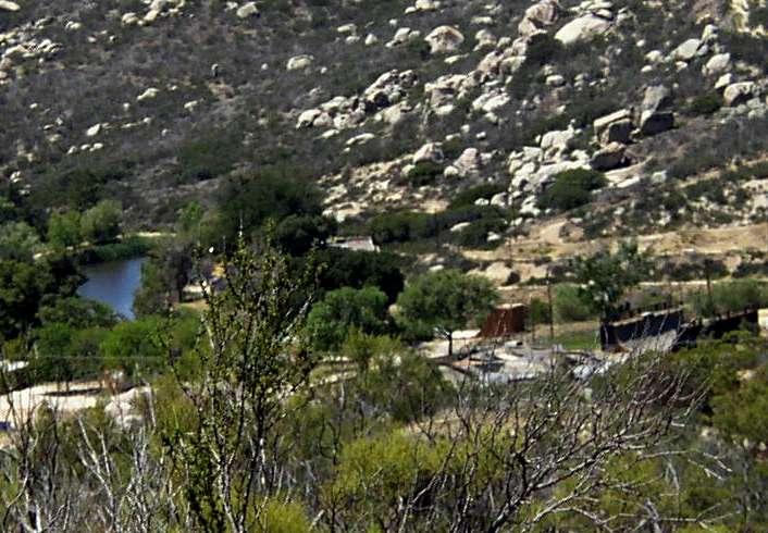
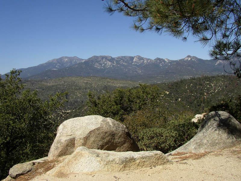
After a really enjoyable ride up Hixon, we came to the major trail intersection, where one road lead west and upward to the Red Mountain Forest Observation Tower and the other road (6S22) wound its way south and east toward Anza. Selecting the uphill trail, we were soon treated to a panoramic overview of the entire region. They obviously put these outlook towers up on hilltops that afford a panoramic view of the large chunks of real estate, and this tower was no exception.
There are really some stunning views from the overlook and we had a moderately clear day in which to view them. With the incredible size of this forest and amount of chaparral that still exists even after last Fall's disastrous fires, one wonder's how much of this scenery will be green after this fire season. (Editor's Note: Ironically the first fires of the season broke out on the following day, and the Eagle fire that burned near Temecula would have easily been visible from this outlook.)
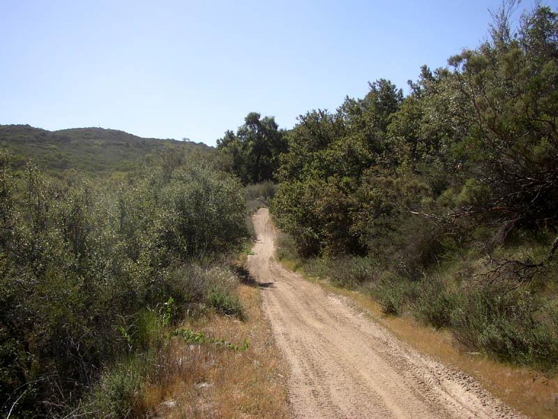
After taking in the scenery, we remounted and started down the road to Anza. We'd been asked to take a look at 6S89 by Mike Berry, one of the volunteers who patrols this area in a 4X4. He had heard that the trail had been extensively damaged in the spring rains and was all but impassable to 4-wheel traffic. That certainly didn't jive with what we found as we rolled down this very pleasant trail. The road was in great shape and the scenery still green enough to offer a number of pleasant vistas. We were treated to absolutely delightful weather with temperatures that were moderate and a nice breeze that would be very welcome later in the day. As we continued down the trail we came to a great broad meadow that was named after one of the early explorers of the area. The story was that Juan Diego had accompanied Bautista in his early explorations of the area, and had been intensely smitten by one of the Indian maidens that he had encountered. He was completely shunned by the maiden and her family and fell into a great depression. In desperation, he took his own life in this meadow, which would bear his name from there on.
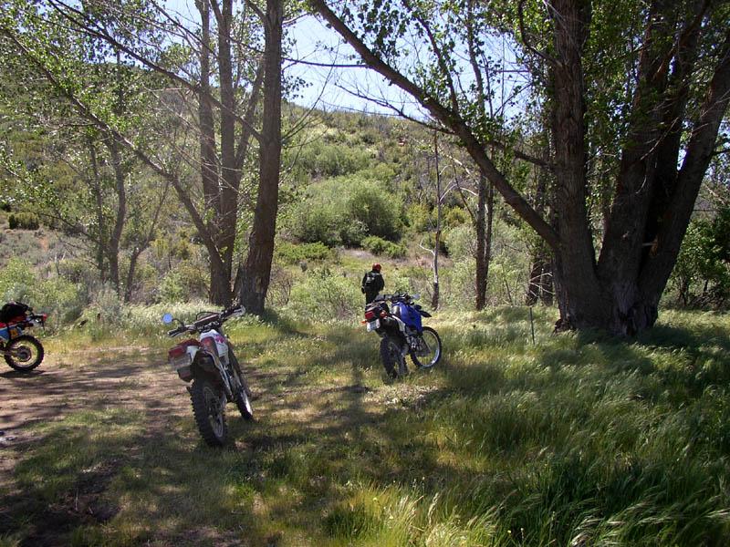
Our modern day experience was considerably different. We found a nice shady camping area that was occupied by two charming young ladies and their escort. They had camped overnight and were out learning to ride some brand new bikes when we rolled up. After checking to see that their campfire was dead out, and making sure that the bikes had spark arresters, we said goodbye and were back on the trail.
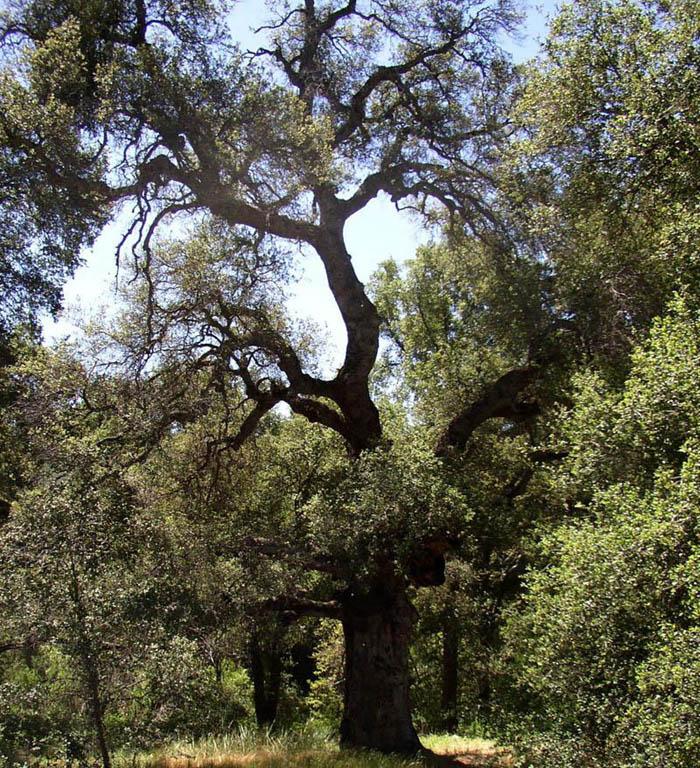
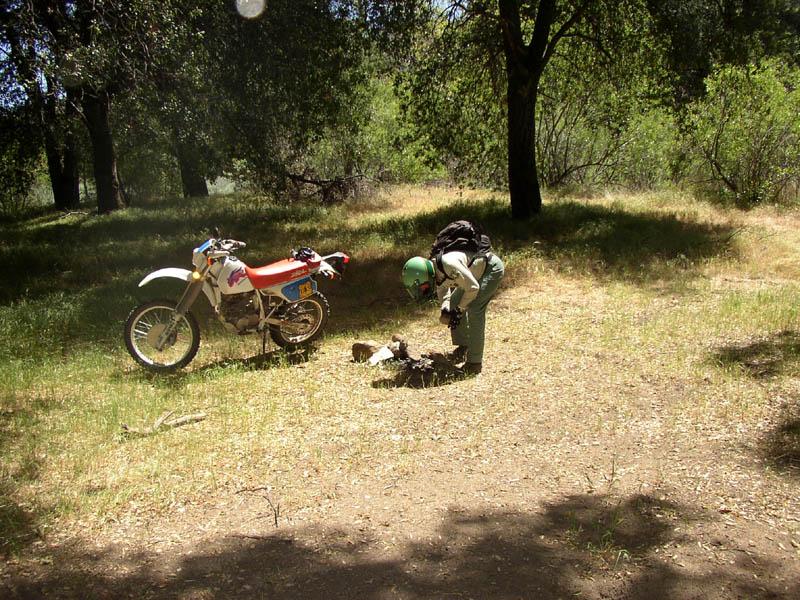
As we made our way down the canyon, we found several different shady little glens that beckon to campers to stop in the shade of the numerous valley oaks and enjoy the cool, peaceful settings. Most of the undesignated campsites were very clean, and we only found one illegal fire ring that we made quick work of. Such fire rings are tempting invitation to people to make fires in areas where they shouldn't. Unfortunately, we sometimes come across smoldering fires in these rings because people either do not bring the necessary water, or have the mistaken impression that merely covering the campfire with dirt will put it out. Such smoldering fires have been the cause of more than one wildfire and the horrible destruction that are the result.
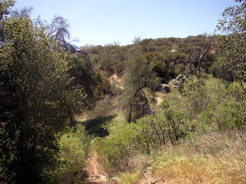
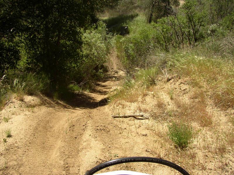
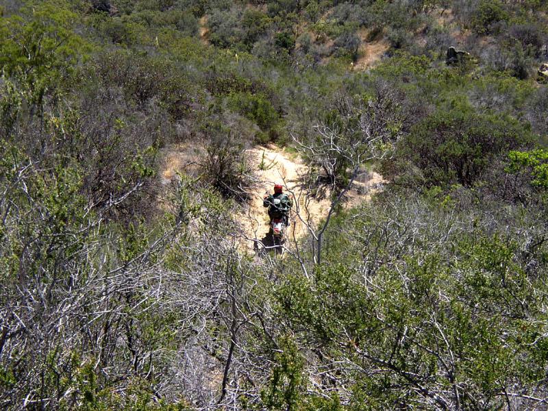
Greg noticed an undesignated single track trail "a rabbit trail" taking off from the road that we were on, and suggested that we follow it to see where it originated. We were in for a real thrill, as the person who had cut this trail onto the forest really new how to challenge a motorcyclist. The trail twisted and turned through the trees and chaparral, winding through down the washes and climbing over the ridges. It was of considerable length and eventually lead us to a pleasant little valley with homes and ranches.
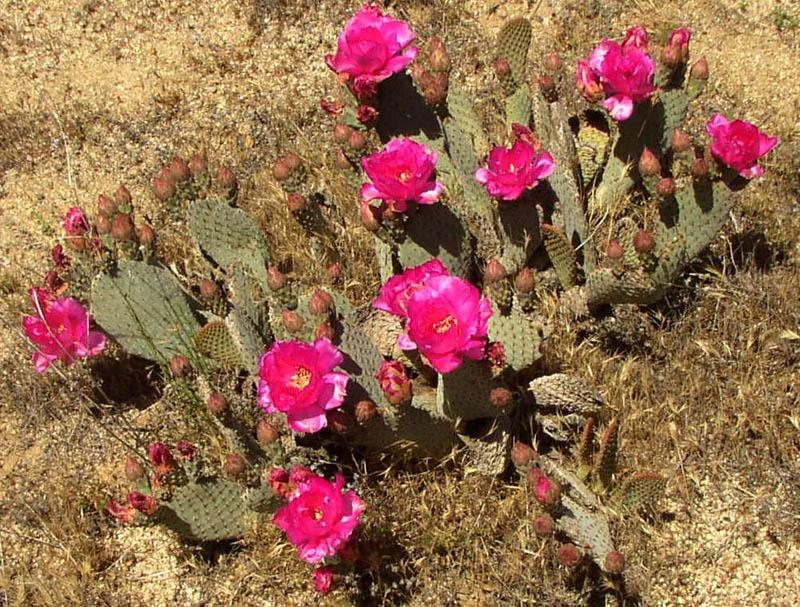
Along the way, we passed through numerous clumps of prickly-pear cactus that was in full bloom. The red hued blooms were very eye catching, and one small valley was just loaded with riotous color. Soon however, we dropped down into a very shady glen where the trail would through the trees. Afterwards, we climbed back up on a ridge and were treated to a view of a private camp that featured a large swimming hole and, believe it or not, a skateboard half pipe. Talk about happy campers!
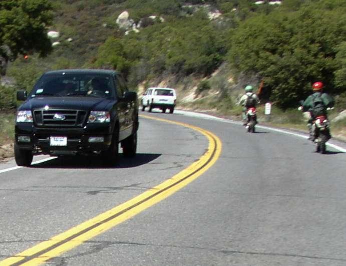
Eventually the trail came to a dead end loop and we were forced to double back a short distance to find a way out. It turned out that the trail originated off a private road that passed right next to the private camp. One wonders if the camp also provides motorcycle trails to their patrons as well as swimming and skateboarding. As it was getting close to noon and our stomachs were starting to growl, we jumped onto a paved road that tied into SR-79 and lead us towards Anza.
We were riding down the paved road toward SR-79, we came upon what was obviously a very recent fire, and one that had taken a few structures with it. Since we had heard nothing about such a fire we inquired about it at the little mom and pop store on highway 79 where we stopped for lunch. We learned that someone with a motor home had an engine problem that turned into a fire that consumed 1900 acres before it could be snuffed out. With such an early start, it's pretty obvious that this is going to be a very dangerous fire season, and that we will have to be very lucky to avoid any further serious loss of greenery and property. After lunch, we rode through the community of Anza, I noticed a new Indian Casino. It seems like a casino is becoming as standard fixture on every reservation now, and every one that I have come across has a parking lot full of cars. I'm wondering when the casino industry will reach the point of saturation and whether all of them will be able to survive.
Once we passed
through Anza, we passed through the upper end of Bautista Canyon and
then began the long climb up and over Thomas Mountain. There was nothing
much to report on this part of the ride. We had the roads pretty much to
ourselves and made great time. Eventually we hit the pavement again;
this time it was SR-74 just below
Lake Hemet, and we quickly made our way through Idyllwild and onto
SR-173. We passed numerous road bikes and convertibles, all enjoying the
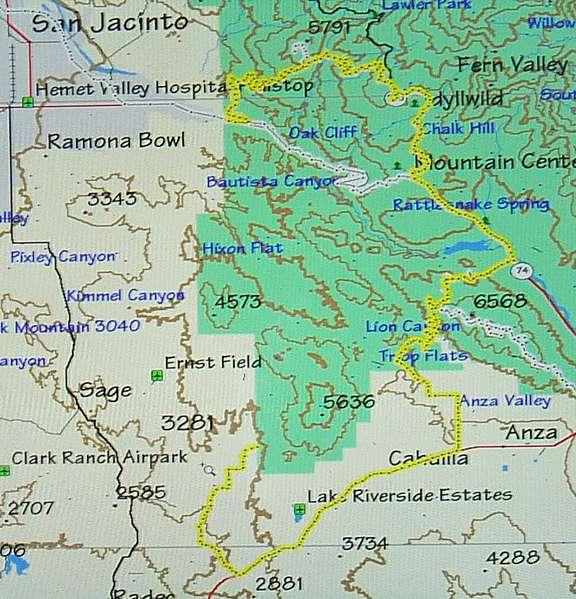
fabulous weather and scenic vistas that this area is famous for. We eventually came to the Pine Cove area, and caught the dirt road that leads down the mountain. We met several riders on our way down the mountain, including two couples on Banshees that were attempting to climb the first hill on Indian Mountain Trail without much success. We were now very definitely on the homeward leg of the trip, and made rapid progress through scenic Bee Canyon on our way back to Cranston. At the start of Bee Canyon, we stopped to inspect a Designated Vehicle Route sign that we had restored on our last trip. These signs seem to be one of the favorite targets of the shooters that frequent this area, and much to our chagrin; they had returned the sign to its original unreadable condition in the few short months since we had reworked it. It seems like everything is fair game for the people that bring their guns onto the forest. At any rate, we were soon pulling into our staging area at Cranston Ranger Station. We had a great day and put 100 miles on the bikes, see a lot of great trail and scenic forest in the process. We soon had the bikes loaded, and we on our way home, tired but happy, and secure in the knowledge that we had done our part to keep the forest safe and preserved for other forest visitors. Albert Latta had run his GPS Receiver on this trip and used the trail mapping function to mark most of our route on the topographic map shown below:
|
|||||||||||||||||||||||||||

|
Off-Road.com Newsletter Join our Weekly Newsletter to get the latest off-road news, reviews, events, and alerts! |
Follow @Off-Road
 Your Privacy Choices