Video: Bradshaw Trail - Overland Route to the La Paz Mining District
Bradshaw Trail Continued
.jpg)
We got into camp just outside Wileys Well with plenty of time to set up camp and unwind before dinner. Bruce, who was with our group, had a well-equipped Toyota Tacoma with an AT FlipPac. It looked at home next to the Little Chuckwalla Mountains (Elev. 2,100 feet).
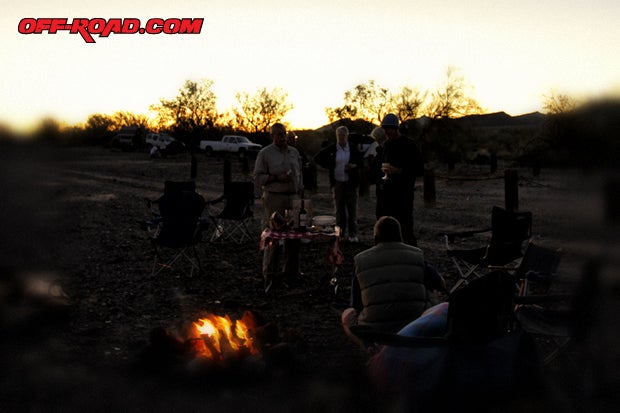
Theres just something about campfires that soothes the soul. As the sun went down, our campfire came up. Our group enjoyed sharing stories, food and star-filled skies that night. The weather stayed comfortable and the vibe was good. As Tom said, This is the best campfire weve had in a long time. Only on the Bradshaw Trail.
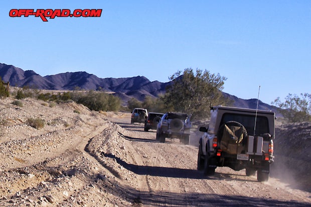
The next morning, after enjoying a cup of Joe made by brewmaster Burns, we headed out toward Wileys Well. Dave had a brief meeting with our group and then we were off. A convoy of 14 vehicles and two off-road trailers continued east on the Bradshaw Trail, destination the Old Wiley Well site.
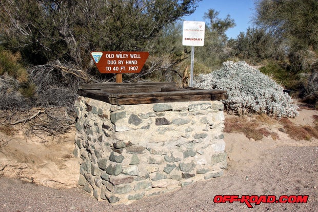
The Old Wiley Well was dug by A.P. Wiley in 1907. Wiley dug the well by hand to a depth of 40 feet, all in hopes of attracting travelers on the Bradshaw Trail to his desert store in Palo Alto, California. The well continued in service for many years after the decline of travel on the route, used mostly by local ranchers and cowboys. Today, a long-term visitor campground is located next to Wileys Well, where a new drinking water well has been drilled by the BLM.
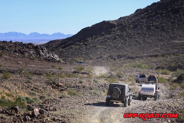
After visiting Wileys Well, Dave steered us towards the Mule Mountains. We left the Bradshaw Trail and headed south on Wiley Well Rd until reaching the trailhead for the Opal Hill Mine. A sign for the Opal Hill Mine is posted near Coon Hollow Campground.
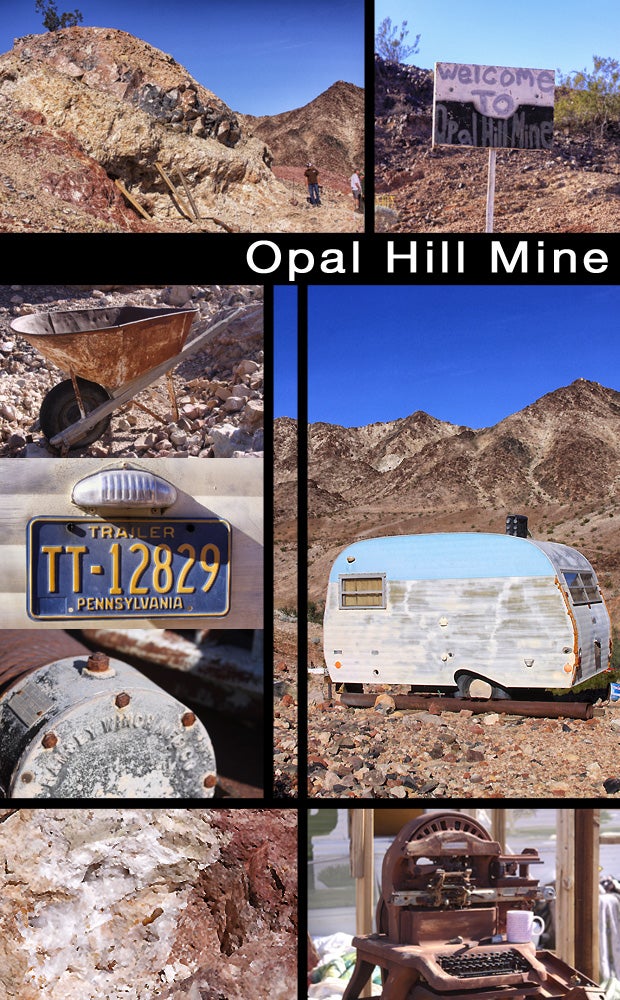
The Opal Hill Mine is nestled in the Mule Mountains, just outside of Palo Verde, California. The property is open to the public year round and is well known for its rare fire agate, opal and quarts. There are several vintage trailers on site, old machinery, tools, relics and even a Willys. There was nobody around when we visited, but we have read that a caretaker is usually at the Opal Hill Mine. No tunnels or shafts here, just good old pick and shovel action on the side of the hill. Definitely worth checking out bring tools.
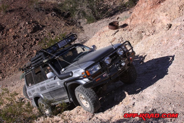
After getting our gem fix at the Opal Hill Mine, Dave continued heading east on this tight canyon trail. This route was much more challenging with varied terrain consisting of rocks, sand, off-camber descents, hill climbs and even some 4-LO crawling sections. It was good to switch gears on the trip. As we left the Mule Mountains, we started to descend onto Palo Verde on the banks of the Colorado River.
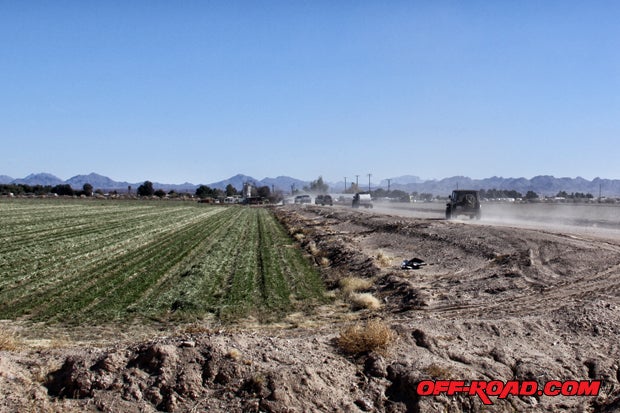
As we approached Palo Verde, the contrast of lush farmland with the arid desert behind us brought us closer to the waters and mines of the Colorado. For most of our group, the adventure ended here. We aired back up before heading north on Highway 78 towards Blythe, California and then I-10.
LA PAZ, ARIZONA
We had come this far, and I was determined to find what was left of La Paz, Arizona. After talking it over with Dave and Tom, we agreed to continue our adventure across the Colorado River, into Arizona. Dave punched in the destination into Lowrance GPS and off we went.
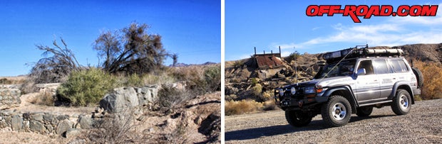
The old mining town of La Paz is located less than 5 miles north of Ehrenberg, Arizona, just across the California-Arizona border on I-10. Its located inside the Colorado River Indian Reservation, and is not well marked. It took some exploring to find, but Daves good sense of direction soon had us at our mark. Only a few stone foundations remain (left), with some remnants of an ore mill on the east side of the road (right) less than a mile away.
Thanks to Dave and Tom, we had completed the trip to La Paz, just like many early pioneers and miners had done over 150 years ago. Although we didnt find gold, we did manage to relive the historic Bradshaw Trail, explored some amazing terrain and places, and even got to spend time with old and new friends. For some, this is worth more than gold.
THANK YOU!
A special thanks to Dave Druck and Yosh (a.k.a. AdventureDuo) for a great time on the Bradshaw Trail and for sharing many desert treasures with us. Mr. Tom Severin, as always, a pleasure being on the trail in your company.
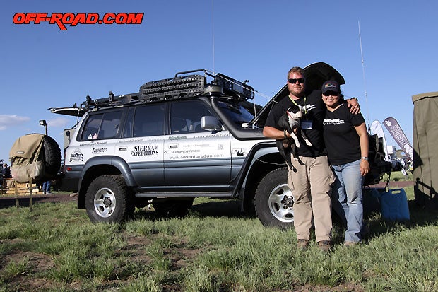
Dave Druck and wife Yosh are off-road adventure seekers at heart. They explore trails of the west extensively and often. Check out more of their adventures at http://www.adventureduo.com/
RESOURCES
Bradshaw Trail - BLM Site
More information about the Bradshaw Trail including directions, camping information and maps. can be found at http://www.blm.gov/ca/st/en/fo/palmsprings/bradshaw.html
Bureau of Land Management
Palm Springs-South Coast Field Office
1201 Bird Center Drive
Palm Springs, CA 92262
Phone: (760) 833-7100
Recommended Reading
Gold Road to La Paz - An interpretive Guide to The Bradshaw Trail
By Delmer G. Ross
Available at http://www.desertusa.com/web_cart/db/pages/5096.html
Backcountry Adventures: Southern California
by Peter Massey & Jeanne Wilson (Adler Publishing)
Also available digitally at http://www.trails.com/
|
Off-Road.com Newsletter Join our Weekly Newsletter to get the latest off-road news, reviews, events, and alerts! |
Follow @Off-Road
 Your Privacy Choices